
America in the Cartography of the 16th Century (1500-1556) (I)
Keywords:
American Cartography, Charles V, Colonial Expansion, Classified Geographical Information, Spanish Empire, 16th CenturyAbstract
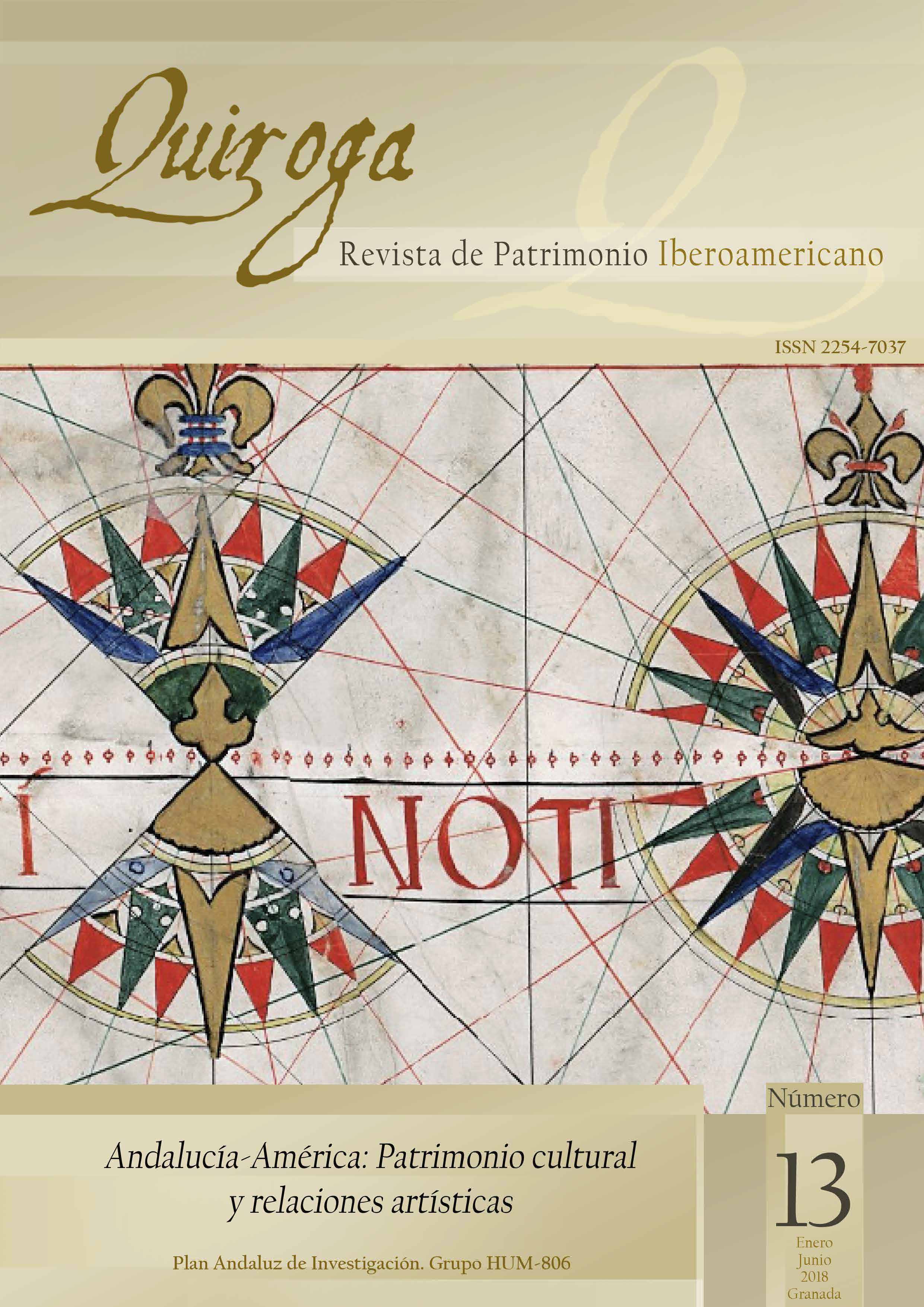
Scientific advances of the last years of the fifteenth century had very positive consequences for the progress of geographical discoveries sponsored by European monarchies. In a few years European attention was changed from the Mediterranean to the Atlantic and, due to the Spanish geopolitical interests, from the Occeanus Occidentalis to the Pacific. At this same time, cartography, which evolved from being an “academic” work to a “state” profession, is understood at the same time as an instrument of power and an example of the changes in the perception of the universe.
Downloads
Downloads
Published
How to Cite
Issue
Section
License
(c) Quiroga. Los originales publicados en la edición electrónica de esta Revista son propiedad de la misma, siendo necesario citar la procedencia en cualquier reproducción parcial o total.
Salvo indicación contraria, todos los contenidos de la edición electrónica se distribuyen bajo una licencia de uso y distribución "CREATIVE COMMONS RECONOCIMIENTO-NO COMERCIAL 4.0 ESPAÑA" (CC-by-nc). Puede consultar desde aquí la versión informativa y el texto legal de la licencia. Esta circunstancia ha de hacerse constar expresamente de esta forma cuando sea necesario.